
What you need
- A phone with the geoGPS app, Internet access and Bluetooth turned on.
- A dedicated geoGPS RTK kit connected via Bluetooth. Any other RTK GNSS receiver requires your own verification.
- Access to an NTRIP correction service.
- A geoGPS account and an active organization subscription.
How RTK works in the app
The app downloads corrections from a provider over the Internet and passes them via Bluetooth to the receiver. The receiver combines them with the satellite observations and returns the computed position to the app.
Step-by-step setup
First, in Settings → Device location → Device location method choose External RTK GNSS. Then open Settings → External RTK GNSS configuration.
- Pair the receiver with the phone in the system Bluetooth settings.
- In BT connections choose the paired receiver from the "SELECT RTK GNSS" list.
- In Correction provider configuration enter the NTRIP address and port, stream name, user name and password, and NTRIP version.
- For network streams (VRS) turn on "Send NMEA GGA to base station".
- Enter the antenna height: the distance from the antenna reference point (ARP) to the tip of the pole, in meters.
- Run a connection test. "Connection test succeeded" means the configuration is correct.
How to check that it works
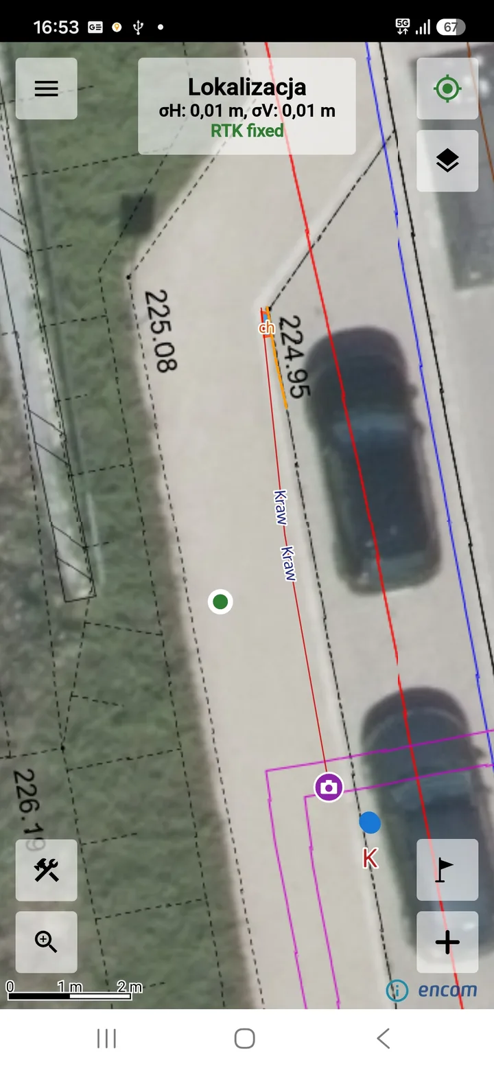
The "RTK GNSS" screen shows live the solution status (from no fix up to RTK fixed), the σH and σV accuracy, the Age of corrections, the number of satellites, and the reference station with the distance to it.
The recommended distance to the station is up to 30 km. Beyond that, the position error, especially in height, and the risk of a wrong fix both grow. If the app warns that the reference station is too far, choose a VRS stream or a closer station. After a reference station change, check the position on a known point before you continue measuring.
Frequently asked questions
Can I measure without an RTK receiver?
Yes. The "Standard location" method uses the receiver built into the phone, but its accuracy is a few meters.
What does "Check the configuration details" mean?
This connection test result points to an error in the NTRIP details. Check the address, port, stream name, user name and password.
Where can I buy a receiver?
Dedicated GNSS RTK receivers are available at sklep.encom.pl.