
Start with a project
You need a project before the first measurement. In the Projects list add a new one, enter a name, choose a coordinate system and a geoid model, and save.
The coordinate system determines in which system X/Y coordinates are saved and shown. The geoid model is used to convert the ellipsoidal height from the receiver into a normal height H.
Measuring a point
- Place the pole on the point and wait for a good position. With RTK that means the RTK fixed status.
- Tap Save the current location. While HOLD STILL, MEASURING is shown, do not move the pole.
- In the Save window choose POINT and the object type, then enter a name.
- Check the repeatability and tap Save object.
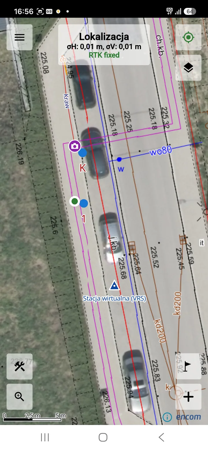
Measuring a line or area
- In the Save window choose LINE or AREA and the object type.
- Stand on the first point, take the measurement and tap Save and measure another point.
- Repeat on the next points. The "Points collected" counter shows the progress, and Remove the last measured point undoes the last vertex.
- After the last point tap Save object. A line needs at least 2 points, an area at least 3.
Objects you can't reach
When an object cannot be measured on site, you can draw it: open the tools sheet, choose Point, Line or Area, and pick its points on the map. Such points get a manual status, so they are easy to tell apart from measured ones.
What gets saved
For every point the app saves B/L and project X/Y coordinates, ellipsoidal and normal height, σH/σV accuracy, PDOP, antenna height, coordinate system, geoid and measurement status.
Frequently asked questions
Why wasn't my measurement saved?
The most common reasons are not enough readings with the FIXED status, RTK corrections that are too old, or losing the position from the receiver. Also check the connection to the NTRIP service.
What if the app closes while I am measuring a line?
An unsaved line or area measurement is restored after the app is closed by accident.
Can I see the size of an area before saving it?
Yes. When you add an area with the Area tool, its size is shown live before you save.