
Installing the plugin
You need QGIS 3.22 or newer (including QGIS 4). The plugin is part of every package.
- Download the plugin ZIP file.
- In QGIS choose Plugins → Manage and Install Plugins → Install from ZIP.
- Select the file and click Install Plugin.
Signing in
Click Login and enter your login or e-mail and password. The server sends a 6-digit code by e-mail and as a push notification to the geoGPS app. The code is valid for 3 minutes.
Choosing a project and layers
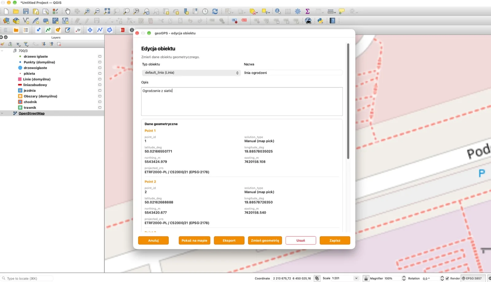
Click Projects, choose a project and Set as active. The plugin loads its objects into separate layers by object type, in a group named after the project. Every layer has the style of its type, so objects look the same as in the app and in the panel.
Exporting objects
In the Objects window select objects, click Export and choose a format:
- GeoJSON – full object data, plus a ZIP when there are photos,
- CSV – objects listed vertex by vertex,
- TXT (survey points) – points only,
- KML – for Google Earth and other GIS software,
- DXF (CAD) – a drawing for CAD software.
X/Y coordinates are saved in the system of the active project. You can export up to 5000 objects at a time, and a ZIP file holds at most 300 photos.
Export is also available in the mobile app, on the Data screen. It adds the GML format and GeoJSON with photos, which is suitable for re-import.
Frequently asked questions
Do I see the whole team's data in QGIS?
Yes. Objects of all users of the organization in the active project are loaded, but other people's objects are view-only.
Can I do volume and area settlement in QGIS?
No. The Surfaces and Volume tools and GML layers are in the mobile app.
Why can't I see a project's objects?
Objects of a project with the "locked" status are not loaded. The plugin shows a message about it.